Essential information for preparing your hike
| Difficulty | Easy | |
| Distance | 120.4 KM | |
| Height / altitude | 1000 meters | |
| Elevation gain | 480 meters | |
| Dog allowed |
Trail maps

Trails available at Parc National Du Mont-Mégantic
List of suggested loops and routes
| Trails | Distance | Elevation | Type | Difficulty |
|---|---|---|---|---|
Sentier de la Petite-Ourse |
2.5 km | Loop | Beginner | |
Promenade du Ruisseau |
1.5 km | Linear | Beginner | |
Sentier de la Grande-Ourse |
1.3 km | 70 m | Linear | Beginner |
Les Cimes-de-Franceville |
6 km | Linear | Intermediate | |
Sentier du Mont-Notre-Dame |
5.1 km | 390 m | Loop | Intermediate |
Piste de la Vallée |
3.9 km | Linear | Intermediate | |
Promenade Boréale |
2.2 km | 60 m | Linear | Intermediate |
Sentier du Mont-Mégantic |
5 km | 320 m | Linear | Advanced |
Sentier du Col |
4.5 km | 290 m | Linear | Advanced |
Sentier du Mont-Saint-Joseph |
3 km | 480 m | Linear | Advanced |
↔️ Glissez pour voir tous les détails
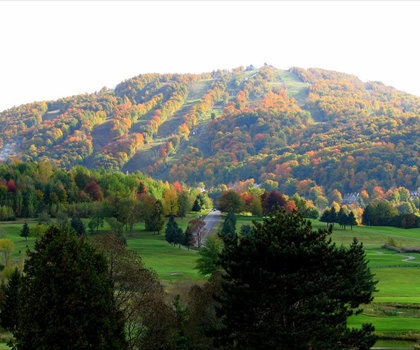
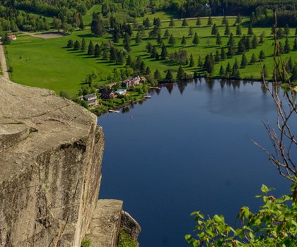
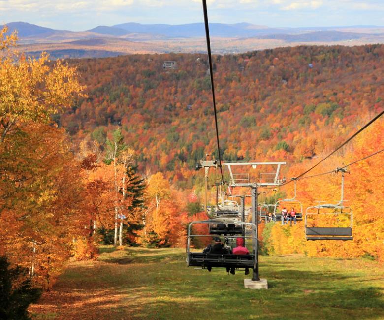
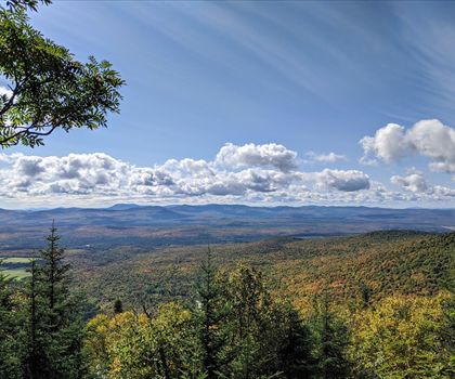
Photos
The geographic center of the park is Mont Megantic and at the climax of this Mont Megantic lies a prominent astronomical observatory of the Eastern Canada named Mont Megantic Observatory. Some component of this Mon-Megantic Park is considered to be an area that is recognized for the conservation of bird.
The park territory includes Cuttingedge Mountains in Appalachia state. If you are a hiker then you will get four peaks that are accessible to you to go for hiking trails. The four peaks namely are I’Aurore, Mont Victoria, Mont Megantic and Mont St. Joseph. To be more clear the I’Aurore is of around 835 m, the Mont Victoria is of around 1050 m, the Mont Megantic is of around 1105 m and the Mont St. Joseph is of around 1075 m. The Mont Megantic is said to be the 10th highest mountains in the Quebec and this one is the highest peak that is reachable by car.
The park is renowned for the scientific observatory at an altitude of 1111 m. This observatory includes a Ritchey-Chretien telescope assumed to be the most authoritative of its category in North America which is of 1.6 diameters. The Mont-Megantic is acknowledged by The International Dark-Sky Association as the 1st Dark-Sky Preserve. This park has an activity center and museum for the public astronomy named ASTROLab which is 500 ft below the park.
Having a network above 17 km of hiking trails, this Mont Megantic Park also affords mountain biking, snowshoeing and cross country skiing. The multi-purpose trails have a territory of 25 km. There are flight activities that are supervised by the gliding club in the Thetford Mines and if the wind condition is favorable then many para-gliders along with hang-gliders are permitted to dive from the Mount St. Joseph’s peak.
This park is open round the year not for only trails but also for wildlife discovery as it has above 20 different mammal species and more than 125 bird species. From Quebec, this park is at 234 km distance. From the highway 10 east you have to cross route 173, route 204 to route 212 via the route 161.
We quote this park for hiking to be DIFFICULT because till the 10 km it may seem easy but after that you may find it tricky to hike if you are not a seasoned sportsman. Evaluating all the positive and negative aspects, you can rate this park in 4.5 stars out of 5.
Services and activities on site
Useful infos
Rate & open hour
45.4239776
Address
Starting Point
To access the hiking trails, you can start at the main trailhead located at 189 Route du Parc, Notre-Dame-des-Bois, QC J0B 2E0. There is a parking lot available at this address. Additionally, another trailhead can be accessed from the Franceville sector, with parking available at 2140 Chemin de Franceville, La Patrie, QC J0B 1Y0. Both locations provide entry points to explore the various trails in the area.
FAQ - Frequently asked questions
What is the level of difficulty of Parc National Du Mont-Mégantic ?
What is the elevation of Parc National Du Mont-Mégantic?
What is the height of Parc National Du Mont-Mégantic ?
Are dogs allowed?
Is the place are families friendly?
How much does a ticket cost?
Is there an information center / service center / reception?
Similar hikes nearby


She life was a celebration of adventure, joy, and the great outdoors. She lived with a fierce determination to enjoy every moment and to share that joy with others. Her legacy is one of laughter, exploration, and an unwavering love for the natural world. Lydia's spirit continues to inspire those who knew her and those who discover her story, reminding us all to embrace life with open arms and a heart full of joy.
Hikers' opinions
4 out of 5 stars
Based on 12 reviews
4 out of 5 stars
10 years ago4 out of 5 stars
10 years ago3 out of 5 stars
11 years ago4 out of 5 stars
11 years ago