Essential information for preparing your hike
All the information you need to plan your trip at a glance 👇
| Difficulty | Easy | |
| Elevation gain | 1,265 meters |
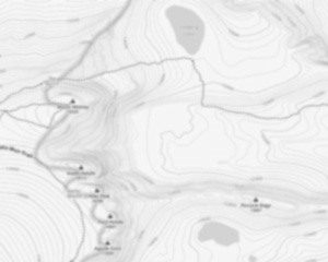
Trail maps

Coming Soon
Photos
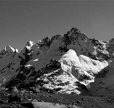
Explore in images the best this hiking trail has to offer: varied landscapes, spectacular views and unspoiled nature.
mount seymour is a ski area mountain located in mount seymour Provincial Park in the District of North Vancouver, British Columbia, Canada. It is a part of the North Shore Mountains, rising to the north from the shores of Burrard Inlet and Indian Arm to a summit of 1,449 m (4,754 ft) above the Indian River and Deep Cove neighbourhoods. mount seymour is most commonly identified for its ski area of the same name, and as a popular hiking area. It is named in honour of Frederick Seymour, second governor of the Colony of British Columbia. The name is used to refer to the ridge although the main summit is one of several, and is also known as Third Pump Peak.
The mount seymour Provincial Park is a beautiful park located in the North Shore Mountains of British Columbia. The park is home to mount seymour, which is a popular destination for hikers and climbers. The park also offers plenty of other activities, including skiing, snowboarding, and mountain biking. There are also several lakes in the park that are perfect for fishing and swimming. The park is open year-round, and it is a great place to visit any time of the year.
Useful infos
Rate & open hour
Access fee
$ 0.00
Schedule
From sunrise to sunset
Coordinates
-122.9444444
49.3933333
49.3933333
Address
Mount Seymour
Mount Seymour, North Vancouver, BC V7H, Canada
Starting Point
The mount seymour trails start at the mount seymour Ski Resort. To get there, take Highway 1 to the mount seymour Parkway exit. Follow the signs to the ski resort.
FAQ - Frequently asked questions
What is the level of difficulty of Mount Seymour ?
What is the elevation of Mount Seymour?
Is the place are families friendly?
No
Is there an information center / service center / reception?
No

Shared by
Lydia Crawford, an extraordinary woman with an insatiable zest for life, has become an inspirational figure to many through her adventures and infectious good humor. Born and raised in a small town nestled in the mountains, Lydia developed a love for the outdoors at an early age. Her childhood was filled with hiking, camping, and exploring the wilderness, experiences that shaped her into the avid outdoorswoman she is today.
She life was a celebration of adventure, joy, and the great outdoors. She lived with a fierce determination to enjoy every moment and to share that joy with others. Her legacy is one of laughter, exploration, and an unwavering love for the natural world. Lydia's spirit continues to inspire those who knew her and those who discover her story, reminding us all to embrace life with open arms and a heart full of joy.
She life was a celebration of adventure, joy, and the great outdoors. She lived with a fierce determination to enjoy every moment and to share that joy with others. Her legacy is one of laughter, exploration, and an unwavering love for the natural world. Lydia's spirit continues to inspire those who knew her and those who discover her story, reminding us all to embrace life with open arms and a heart full of joy.

Hikers' opinions
3 out of 5 stars
Based on 2 reviews
3 out of 5 stars
10 years ago