Essential information for preparing your hike
All the information you need to plan your trip at a glance 👇
| Distance | 192.3 KM | |
| Height / altitude | 875 meters | |
| Elevation gain | 875 meters |
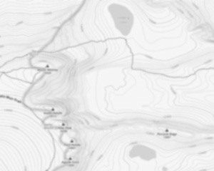
Trail maps

Coming Soon
Trails available at Parc National Du Mont-tremblant
List of suggested loops and routes
| Trails | Distance | Elevation | Type | Difficulty |
|---|---|---|---|---|
La Promenade |
6.5 km | Linear | Beginner | |
Chute-aux-Rats |
5 km | Linear | Beginner | |
Sentier de marche hivernale |
3 km | Loop | Beginner | |
Le Lac-des-Femmes |
2.7 km | Loop | Beginner | |
Geai-Bleu |
2.5 km | Linear | Beginner | |
Les Ruisselets |
4.4 km | Linear | Intermediate | |
La Corniche |
4.1 km | 180 m | Linear | Intermediate |
La Ouache |
3.3 km | Linear | Intermediate | |
La Roche |
2.5 km | 220 m | Linear | Intermediate |
La Coulée |
1.6 km | 80 m | Linear | Intermediate |
Le Centenaire |
9.2 km | 400 m | Linear | Advanced |
Mont-des-Cascades |
7.5 km | 400 m | Loop | Advanced |
L'Envol |
5.5 km | 185 m | Loop | Advanced |
↔️ Glissez pour voir tous les détails
Photos
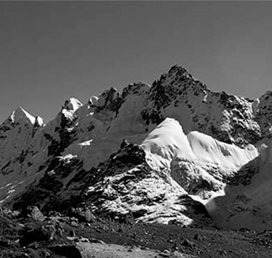
Explore in images the best this hiking trail has to offer: varied landscapes, spectacular views and unspoiled nature.
Mont Tremblant National Park is located in the Laurentians, about 100 km north of Montreal. It covers an area of more than 1,000 km² and consists of forests, lakes and mountains. The park is crisscrossed by numerous hiking and biking trails, which allow you to discover the local fauna and flora. Winter sports enthusiasts can enjoy the ski slopes and snowshoe trails. Mont-Tremblant is also an ideal place for fishing and swimming.
.Useful infos
Rate & open hour
Access fee
$ 8.50
Schedule
From sunrise to sunset
Coordinates
-74.5101
46.2612
46.2612
Address
Parc National Du Mont-tremblant, Québec
819 688-2281
4456, chemin du Lac-Supérieur Lac-Supérieur (Québec) J0T 1P0
Starting Point
The trailhead for Parc National Du Mont-tremblant is located in Saint-Jovite, in the Laurentian region. To access it, take Highway 117 and head north.
FAQ - Frequently asked questions
What is the elevation of Parc National Du Mont-tremblant?
What is the height of Parc National Du Mont-tremblant ?
875.00 M
Is the place are families friendly?
No
How much does a ticket cost?
8.50 $
Is there an information center / service center / reception?
No
Similar hikes nearby

Dog allowed


Dog allowed


Shared by
Lydia Crawford, an extraordinary woman with an insatiable zest for life, has become an inspirational figure to many through her adventures and infectious good humor. Born and raised in a small town nestled in the mountains, Lydia developed a love for the outdoors at an early age. Her childhood was filled with hiking, camping, and exploring the wilderness, experiences that shaped her into the avid outdoorswoman she is today.
She life was a celebration of adventure, joy, and the great outdoors. She lived with a fierce determination to enjoy every moment and to share that joy with others. Her legacy is one of laughter, exploration, and an unwavering love for the natural world. Lydia's spirit continues to inspire those who knew her and those who discover her story, reminding us all to embrace life with open arms and a heart full of joy.
She life was a celebration of adventure, joy, and the great outdoors. She lived with a fierce determination to enjoy every moment and to share that joy with others. Her legacy is one of laughter, exploration, and an unwavering love for the natural world. Lydia's spirit continues to inspire those who knew her and those who discover her story, reminding us all to embrace life with open arms and a heart full of joy.
Hikers' opinions
5 out of 5 stars
Based on 1 reviews