Essential information for preparing your hike
| Difficulty | Very hard | |
| Distance | 13.5 KM | |
| Estimated Time | 6 to 8 hours. | |
| Elevation gain | 1,330 meters |
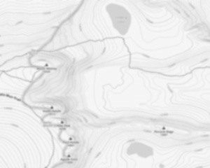
Trail maps

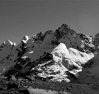
Photos
Mount Marshall is a mountain located in Essex County, New York. Originally named for Governor DeWitt Clinton, and then for Herbert Clark, it was renamed for wilderness activist Bob Marshall (1901–1939) after his death. Marshall is part of the MacIntyre Mountains. Mount Marshall is flanked to the northeast by Iroquois Peak, and faces Wallface Mountain to the northwest across Indian Pass. The northeast end of Mount Marshall drains into Cold Brook, thence into Lake Colden, the Flowed Lands, the Opalescent River, the Hudson River, and into New York Bay. The east side of Mt. Marshall drains into Herbert Brook, thence into the Flowed Lands. The southwest end of Mt. Marshall drains into Calamity Brook, thence into the Hudson River. The west side of Marshall drains into the southern Indian Pass Brook, thence into Henderson Lake, the source of the Hudson River. The north side of Marshall drains into the northern Indian Pass Brook, thence into the West Branch of the Ausable River, into Lake Champlain, thence into Canada's Richelieu River, the Saint Lawrence River, and into the Gulf of Saint Lawrence. Mount Marshall is within the High Peaks Wilderness Area of New York's Adirondack Park.
The Mount Marshall, located in the Adirondacks of New York, is a popular destination for hikers and outdoor enthusiasts. The mountain offers stunning views of the surrounding area and is a great place to spend a day or weekend exploring the trails. There are a variety of trails to choose from, ranging in difficulty from easy to strenuous, so there is something for everyone. The summit of the mountain can be reached by following the Whiteface Mountain Trail, which is a moderate hike that takes about 3 hours to complete. Once at the summit, visitors can enjoy panoramic views of the surrounding mountains and valleys.
For those interested in learning more about this region's rich history and natural beauty, a visit to the High Peaks Information Center near Adirondack Loj provides valuable insights about Verplanck Colvin's surveys and Robert Marshall's conservation efforts in preserving these lands. Additionally, nearby attractions such as Marcy Dam and Upper Works offer unique experiences for adventurers seeking to explore further.
The MacIntyre Range within which Mount Marshall resides is renowned for its breathtaking vistas and challenging hikes that attract outdoor enthusiasts year-round. Whether you're planning your trip around valid February dates or any other time frame throughout the year with an ADK package deal from Newcomb or elsewhere along routes like Erie Canal pathways leading upstate towards these majestic peaks—there's always something new waiting just beyond each bend on every trail!
Useful infos
Rate & open hour
44.127744
Address
Starting Point
The easiest way to get to the start of the trails at Mount Marshall is to take Route 73 to the trailhead parking lot.
FAQ - Frequently asked questions
What is the level of difficulty of Mount Marshall, New York ?
What is the elevation of Mount Marshall, New York?
How long on average?
Is the place are families friendly?
Is there an information center / service center / reception?

She life was a celebration of adventure, joy, and the great outdoors. She lived with a fierce determination to enjoy every moment and to share that joy with others. Her legacy is one of laughter, exploration, and an unwavering love for the natural world. Lydia's spirit continues to inspire those who knew her and those who discover her story, reminding us all to embrace life with open arms and a heart full of joy.

Hikers' opinions
3 out of 5 stars
Based on 2 reviews
3 out of 5 stars
10 years ago