Essential information for preparing your hike
| Difficulty | Very hard | |
| Distance | 13.4 KM | |
| Estimated Time | 8 to 10 hours. | |
| Elevation gain | 1,559 meters |
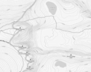
Trail maps

Photos
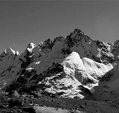
Algonquin Peak is in the MacIntyre Range in the town of North Elba, in Essex County, New York. It is the second highest mountain in New York, and one of the 46 Adirondack High Peaks in Adirondack Park. Its name comes from its reputedly being on the Algonquian side of a nearby informal boundary between the Algonquian and their Iroquois neighbors.
Algonquin is popular with hikers, accessible from the popular Adirondak Loj trailhead near Heart Lake outside of Lake Placid for a day trip. While the climb is shorter than that of nearby Mount Marcy, it is steeper, requiring almost as much vertical ascent in a considerably shorter distance. The usual route is via the blue-blazed Van Hoevenberg Trail 0.9 miles (1.4 km) to its junction with the yellow-blazed MacIntyre Range Trail and following that the remaining 3.1 miles (5 km) to the summit, during which the route gets progressively steeper and rockier, going over many steep rock chutes called "slides". The mountain's summit is an alpine zone above tree line, and views of the surrounding high peaks are available in all directions. However, the large numbers of hikers on the summit have in the past caused damage to the fragile plant life, and strict regulations have been put in place both at the trailhead and on the summit (all hikers must sign in; no dogs are allowed without a leash) to protect it. On busy days a Summit Steward both reminds hikers of these rules and educates them about the ecosystem. Less frequently, the mountain is approached from the southeast via the steep, narrow, 2.1-mile (3.4 km) Boundary Trail from Lake Colden. This trail is also dangerous because of the poor markings and steep, slippery slides that streams have formed on.
The journey to Algonquin Peak offers more than just a challenging hike; it provides an opportunity to explore other natural wonders along Adirondack Loj Road. As you make your way towards this majestic peak, consider taking a detour to visit Marcy Dam or Colden Lake for some serene moments amidst nature's beauty.
For those interested in exploring beyond Algonquin Peak itself, venturing onto trails like Algonquin Trail can lead you through diverse landscapes that showcase New York State's rich natural heritage. Additionally, if time permits, exploring areas such as Catskill can offer further adventures within this stunning region.
Services and activities on site
Useful infos
Rate & open hour
44.1436635
Address
Starting Point
To access the hiking trails, you can start at the Adirondak Loj parking area. The address is 1002 Adirondack Loj Road, Lake Placid, NY 12946. This is a popular starting point for many hikes in the area. Another option is to begin from the Upper Works Trailhead, located at the end of Upper Works Road in Newcomb, NY. Both trailheads provide access to various routes leading to your destination.
FAQ - Frequently asked questions
What is the level of difficulty of Algonquin Peak, New York ?
What is the elevation of Algonquin Peak, New York?
How long on average?
Is the place are families friendly?
Is there an information center / service center / reception?

She life was a celebration of adventure, joy, and the great outdoors. She lived with a fierce determination to enjoy every moment and to share that joy with others. Her legacy is one of laughter, exploration, and an unwavering love for the natural world. Lydia's spirit continues to inspire those who knew her and those who discover her story, reminding us all to embrace life with open arms and a heart full of joy.

Hikers' opinions
5 out of 5 stars
Based on 11 reviews
5 out of 5 stars
6 years ago5 out of 5 stars
6 years ago5 out of 5 stars
6 years ago5 out of 5 stars
7 years ago