Essential information for preparing your hike
| Difficulty | Very hard | |
| Distance | 26.5 KM | |
| Estimated Time | 6 to 8 hours. | |
| Elevation gain | 1,350 meters |
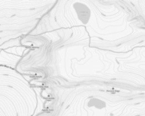
Trail maps

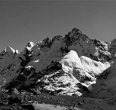
Photos
Armstrong Mountain is a mountain located in Essex County, New York, named after Thomas Armstrong, a local pioneer. The mountain is part of the Great Range of the Adirondack Mountains. Armstrong Mtn. is flanked to the southwest by Gothics, and to the northeast by Upper Wolfjaw Mountain. Armstrong Mountain stands within the watershed of the East Branch of the Ausable River, which drains into Lake Champlain, thence into Canada's Richelieu River, the Saint Lawrence River, and into the Gulf of Saint Lawrence. The east side of Armstrong Mtn. drains into the East Branch of the Ausable River. The west side of Armstrong Mtn. drains into Ore Bed Brook, thence into Johns Brook and the East Branch. Armstrong Mountain is within the High Peaks Wilderness Area of Adirondack State Park.
The Armstrong Mountain is located in the Adirondacks, in New York. It is a part of the High Peaks Wilderness Area and it is the 46th highest peak in the state. The mountain is 2,940 feet high and it offers great views of the surrounding area. The summit can be reached by following the herd path from the summit of Gothics. The hike to the summit is about 4 miles long and it is a strenuous climb.
Explorers venturing through this region often find themselves captivated by nearby attractions such as Johns Brook Valley, which provides a scenic backdrop for hikers traversing through Keene Valley. This picturesque valley york offers an array of trails that showcase the natural beauty and rugged terrain characteristic of this part of New York's wilderness.
Useful infos
Rate & open hour
44.134718
Address
Starting Point
The Armstrong Mountain trails are located in the town of Newcomb, in the eastern Adirondacks. To get there, take NY-28 north from the town of Indian Lake, or south from the town of Tupper Lake. Just past the hamlet of Newcomb, turn left onto County Route 9 (aka Bear Pond Road). The trailhead is about 4 miles down the road on the right.
FAQ - Frequently asked questions
What is the level of difficulty of Armstrong Mountain, New York ?
What is the elevation of Armstrong Mountain, New York?
How long on average?
Is the place are families friendly?
Is there an information center / service center / reception?

She life was a celebration of adventure, joy, and the great outdoors. She lived with a fierce determination to enjoy every moment and to share that joy with others. Her legacy is one of laughter, exploration, and an unwavering love for the natural world. Lydia's spirit continues to inspire those who knew her and those who discover her story, reminding us all to embrace life with open arms and a heart full of joy.

Hikers' opinions
3 out of 5 stars
Based on 4 reviews
3 out of 5 stars
10 years ago3 out of 5 stars
11 years ago