Essential information for preparing your hike
| Height / altitude | 850 meters | |
| Elevation gain | 850 meters |
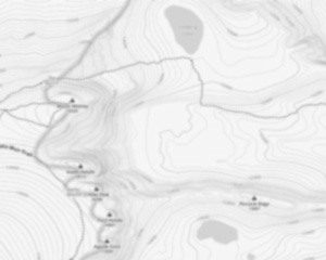
Trail maps

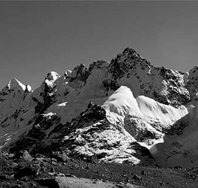
Photos
Discover the Majestic Mont Groulx: A Hiker's Paradise in Côte-Nord - Duplessis
Welcome to mont groulx, a hidden gem nestled in the heart of the Côte-Nord - Duplessis region. If you're a hiker, outdoor enthusiast, or someone yearning to immerse yourself in nature's splendor, this is your ultimate destination.
Why Mont Groulx?
mont groulx, also known as Uapishka Mountains, offers an unparalleled hiking experience that promises both challenge and reward. This mountain range is part of the Canadian Shield and boasts some of the most breathtaking landscapes in Quebec. With peaks reaching up to 1,104 meters (3,622 feet), it provides panoramic views that are nothing short of spectacular.
Hiking Trails for Every Adventurer
Whether you're a seasoned hiker or just starting out, mont groulx has trails suited for all levels. The network of trails meanders through lush forests, alpine tundra, and rugged terrain. One popular route is the "Sentier des Sommets," which takes you across several peaks and offers stunning vistas at every turn. Be prepared for a true wilderness adventure as these trails are remote and require good preparation.
Flora and Fauna
As you trek through mont groulx, you'll be surrounded by diverse flora and fauna. Keep an eye out for caribou herds grazing on the tundra or spot rare bird species soaring above. The unique ecosystem here is a testament to nature's resilience and beauty.
Plan Your Visit
The best time to visit mont groulx is from late June to early September when the weather is most favorable for hiking. Remember to pack appropriately with sturdy boots, layered clothing, and plenty of water and snacks. Since this area is remote, it's crucial to plan your trip carefully and inform someone about your itinerary.
Respect Nature
While exploring mont groulx, please remember to respect the natural environment. Follow Leave No Trace principles by carrying out what you bring in and staying on marked trails to preserve this pristine wilderness for future generations.
mont groulx awaits those who seek adventure off the beaten path. So lace up your hiking boots and embark on an unforgettable journey into one of Quebec's most awe-inspiring landscapes!
Useful infos
Rate & open hour
51.448056
Address
Starting Point
To get to the mont groulx trails, you must go to Saint-Augustin-de-Desmaures. From there, take Route 138 East toward Forestville. After passing through Forestville, continue on route 138 East until you reach the junction for mont groulx. Turn right and climb to the summit.
FAQ - Frequently asked questions
What is the elevation of Mont Groulx?
What is the height of Mont Groulx ?
Is the place are families friendly?
Is there an information center / service center / reception?
Similar hikes nearby


She life was a celebration of adventure, joy, and the great outdoors. She lived with a fierce determination to enjoy every moment and to share that joy with others. Her legacy is one of laughter, exploration, and an unwavering love for the natural world. Lydia's spirit continues to inspire those who knew her and those who discover her story, reminding us all to embrace life with open arms and a heart full of joy.
Hikers' opinions
0 out of 5 stars
Based on 0 reviews