Essential information for preparing your hike
| Difficulty | Moderate | |
| Distance | 9 KM | |
| Estimated Time | 3 to 5 hours. | |
| Elevation gain | 939 meters |
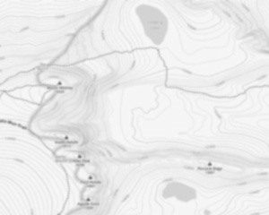
Trail maps

Photos
The Tumbledown Mountain, located in Maine, is a beautiful and serene mountain that offers stunning views of the surrounding area. The mountain is perfect for hiking, camping, and exploring, and is a great place to get away from the hustle and bustle of city life. The trails on the mountain are well-maintained and offer a variety of different routes to choose from, so hikers of all levels can enjoy the experience. The summit of the mountain is a great place to take in the panoramic views of the surrounding countryside, and on a clear day, it's even possible to see as far as Canada. Campers will find plenty of space to set up their tents near the summit, and there are also several fire pits available for use. Hikers and campers can also enjoy a variety of wildlife that can be found in the area, including deer, moose, and black bears.
Useful infos
Rate & open hour
44.75009
Address
Starting Point
The trails at the tumbledown mountain, maine in Maine can be accessed from the parking lot on the south side of the mountain.
FAQ - Frequently asked questions
What is the level of difficulty of Tumbledown Mountain, Maine ?
What is the elevation of Tumbledown Mountain, Maine?
How long on average?
Is the place are families friendly?
Is there an information center / service center / reception?

She life was a celebration of adventure, joy, and the great outdoors. She lived with a fierce determination to enjoy every moment and to share that joy with others. Her legacy is one of laughter, exploration, and an unwavering love for the natural world. Lydia's spirit continues to inspire those who knew her and those who discover her story, reminding us all to embrace life with open arms and a heart full of joy.
Hikers' opinions
0 out of 5 stars
Based on 0 reviews