Essential information for preparing your hike
| Difficulty | Very hard | |
| Distance | 20.6 KM | |
| Estimated Time | 6 to 8 hours. | |
| Elevation gain | 1,289 meters |
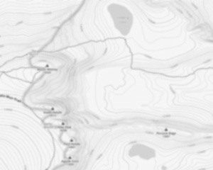
Trail maps

Photos
The Crocker Mountain is located in Maine and is a part of the Mahoosuc Range. The mountain is known for its challenging hike, which offers beautiful views of the surrounding area. The hike to the summit is about 8 miles long and includes a number of steep climbs and descents. The summit of the mountain is covered in trees, so there are no views from the top. However, the hike is still worth doing for the beautiful scenery along the way.
Useful infos
Rate & open hour
45.047233
Address
Starting Point
To access the hiking trails, you can start at the trailhead located on Caribou Valley Road (CVR). The parking area is near the intersection of CVR and Route 27. Note that CVR is a rough, unpaved road, so a high-clearance vehicle is recommended. Another option is to begin from the Appalachian Trail crossing on Route 27, where there is a small parking area available.
FAQ - Frequently asked questions
What is the level of difficulty of Crocker Mountain, Maine ?
What is the elevation of Crocker Mountain, Maine?
How long on average?
Is the place are families friendly?
Is there an information center / service center / reception?

She life was a celebration of adventure, joy, and the great outdoors. She lived with a fierce determination to enjoy every moment and to share that joy with others. Her legacy is one of laughter, exploration, and an unwavering love for the natural world. Lydia's spirit continues to inspire those who knew her and those who discover her story, reminding us all to embrace life with open arms and a heart full of joy.
Hikers' opinions
4 out of 5 stars
Based on 4 reviews
3 out of 5 stars
11 years ago4 out of 5 stars
11 years ago