Essential information for preparing your hike
| Elevation gain | 1 foots |
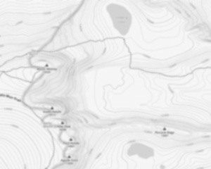
Trail maps

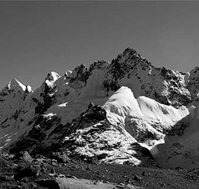
Photos
The Vercors Regional Nature Park is located in Auvergne-Rhône-Alpes, straddling the departments of Isère and Drôme. It covers an area of nearly 5,000 km² and has more than 100,000 inhabitants.
The Vercors is a mountainous massif that culminates at 2,438 meters in altitude. Its varied landscapes offer a great ecological wealth. Forests of beech, fir and pine dominate the high altitudes, while the valleys host meadows and crops.
The Vercors Regional Natural Park is a protected area where the fauna and flora are preserved. Chamois, golden eagle, lynx and wolf can be found there in particular. The rivers are also very rich in fish and aquatic species.
The Vercors is a popular tourist destination for hiking and winter sports enthusiasts. The many walking trails allow you to discover the exceptional landscapes of the massif. As for the ski resorts, they offer slopes suitable for all levels.
Useful infos
Rate & open hour
45.1296009
Address
Starting Point
The trailhead for the Vercors Regional Nature Park is located in Saint-Nizier-du-Moucherotte, in the Auvergne-Rhône-Alpes region. To get there, take the D518 in the direction of Saint-Nizier-du-Moucherotte and follow the signs to the parking lot.
FAQ - Frequently asked questions
What is the elevation of Parc naturel régional du Vercors?
Is the place are families friendly?
Is there an information center / service center / reception?

She life was a celebration of adventure, joy, and the great outdoors. She lived with a fierce determination to enjoy every moment and to share that joy with others. Her legacy is one of laughter, exploration, and an unwavering love for the natural world. Lydia's spirit continues to inspire those who knew her and those who discover her story, reminding us all to embrace life with open arms and a heart full of joy.

Hikers' opinions
5 out of 5 stars
Based on 5 reviews