 Par
Par

Chien autorisé
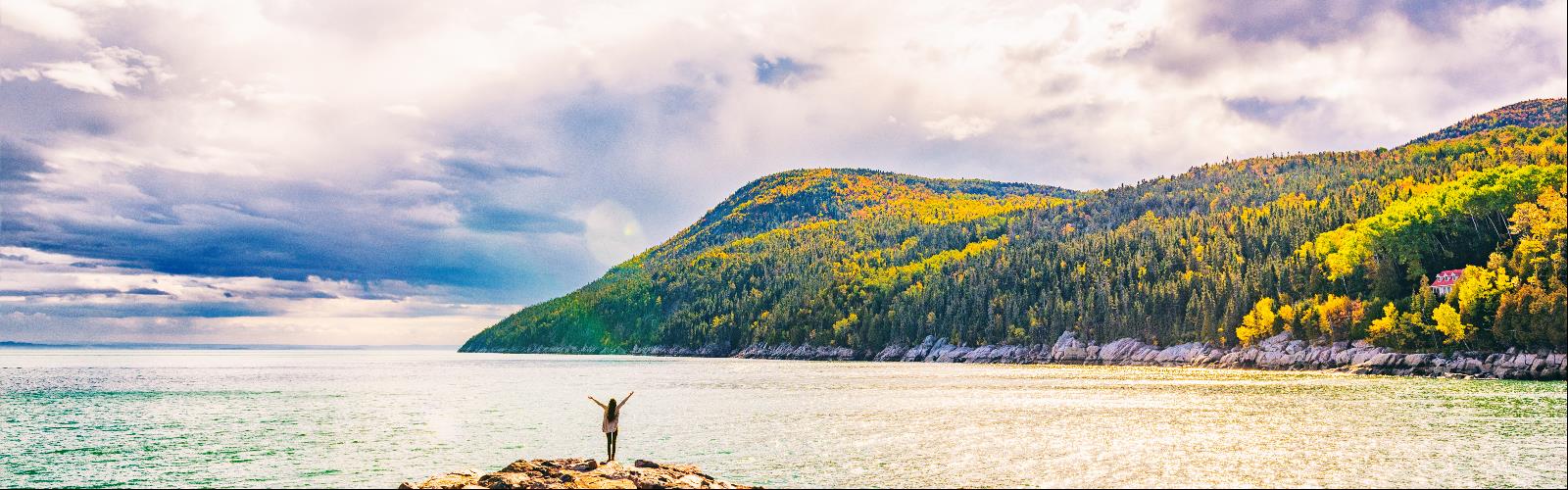
Mont du Dôme
10 commentaires
Distance: 175,7 km
Élévation 400 m
Québec
, Charlevoix
Téléphone 418 639-2284
http://www.sentiersquebeccharlevoix.com/
| Nom sentier | Distance | Difficulté |
|---|---|---|
La Traversée de Charlevoix (SNQ*) - Sentier national |
105,00 km | Avancé |
Sentier du Bihoreau |
10,00 km | Avancé |
Sentier de la Noyée |
10,00 km | Avancé |
Sentier Eudore Fortin |
9,20 km | Intermédiaire |
Sentier du Mont du Dôme |
7,80 km | Intermédiaire |
Sentier du Button |
3,10 km | Intermédiaire |
Sentier du Cadot |
2,60 km | Intermédiaire |
Sentier du Lac à la Main |
2,20 km | Intermédiaire |
Mont du Lac à l'Empêche et mont du Four |
14,00 km | Intermédiaire |
Boucle des Sommets |
11,60 km | Intermédiaire |
Sentier du Raccourci |
0,80 km | Débutant |
Chien autorisé
Mont Des Morios
15 commentaires
Distance: 25 km
Élévation 637 m
13 rue Principale, Notre-Dame-des-Monts, QC G0T 1L0, Canada ,
Québec
, Charlevoix
Téléphone (418) 439-3771
http://www.association-pieddesmonts.com/
| Nom sentier | Distance | Difficulté |
|---|---|---|
Boucle du Mont des Morios |
25,00 km | Intermédiaire |
Mont des Morios |
5,00 km | Débutant |
Sentier des Chutes |
9,00 km | Intermédiaire |
Tronçon Mont du Gros Castor - Mont des Morios |
15,00 km | Avancé |
Chien autorisé
Mont Du Lac Des Cygnes
8 commentaires
Distance: 4,3 km
Élévation 480 m
Québec
, Charlevoix
Téléphone 800 665-6527
https://www.sepaq.com/pq/grj
Coût 8,90
Chien autorisé
Parc national des Grands-jardins
5 commentaires
Distance: 51,4 km
Élévation 480 m
Québec
, Charlevoix
Téléphone 800 665-6527
https://www.sepaq.com/pq/grj/information.dot
Coût 8,90
| Nom sentier | Distance | Difficulté |
|---|---|---|
Mont-du-Lac-des-Cygnes |
4,30 km | Avancé |
Secteur Thomas-Fortin - Sentier 2 |
4,00 km | Avancé |
Secteur Thomas-Fortin - Sentier 11 |
2,50 km | Intermédiaire |
Secteur Mont-du-Lac-des-Cygnes - La Chouenne |
2,30 km | Intermédiaire |
Secteur Thomas-Fortin - Sentier 1 |
17,00 km | Intermédiaire |
Secteur Thomas-Fortin - Sentier 6 |
1,70 km | Intermédiaire |
Secteur Thomas-Fortin - Sentier 9 |
6,80 km | Débutant |
Secteur Thomas-Fortin - Sentier 3 |
11,00 km | Débutant |
Secteur Mont-du-Lac-des-Cygnes - Sentier 5 |
1,80 km | Débutant |
Secteur Thomas-Fortin - Sentier 10 |
1,60 km | Débutant |
Chien autorisé
Parc national des Hautes-Gorges-de-la-Rivière-Malbaie
14 commentaires
Distance: 10,6 km
Élévation 800 m
25 Boulevard Notre Dame, Clermont, QC G4A 1C2, Canada ,
Québec
, Charlevoix
Téléphone (800) 665-6527
https://www.sepaq.com/pq/hgo/information.dot
Coût 8,50
| Nom sentier | Distance | Difficulté |
|---|---|---|
L'Acropole des Draveurs |
5,60 km | Avancé |
Les Rapides |
7,60 km | Intermédiaire |
Le Riverain |
10,60 km | Intermédiaire |
L'Érablière |
2,50 km | Débutant |
La Chute-du-Ruisseau-blanc |
0,50 km | Débutant |
Le Pied-des-Sommets |
0,50 km | Débutant |
Le Belvédère |
0,40 km | Débutant |